
Monday, May 1, 2023 – THIS MEANDERING WATERWAY EXISTS UNDER SOCRATES PARK


FROM THE ARCHIVES
MONDAY, MAY 1, 2023
ISSUE 978
SUNSWICK CREEK
RIGHT ACROSS THE RIVER
UNTAPPED NEW YORK
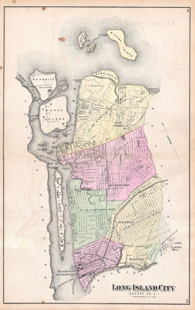
1873 map of Long Island City featuring Sunswick Creek at the center draining into the East River. Photo courtesy of Atlas of Long Island, New York. From Recent Actual Surveys and Records Under the Superintendence of F. W. Beers (Wikimedia Commons).
Before its burial, Sunswick Creek’s source was located close to 21st Street north of what is now the Queensboro Bridge and Queens Plaza. The creek’s name may have originated from the Algonquin word “Sunkisq,” which translated to “Woman Chief” or “Sachem’s Wife.” In 1664, the land on the northern shore of the creek was purchased by British settler William Hallet from two native chiefs named Shawestcont and Erramorhar, and the peninsula was renamed Hallets Cove. Due to increased industrialization, the lack of a proper sewage system, and the high population density of Long Island City and nearby Astoria, Sunswick Creek became heavily polluted by the 1860s and 1870s. After the outbreak of diseases in 1871 and 1875, the marshes surrounding the creek were drained in 1879. By 1893, the creek had been diverted into one of the new sewage system’s brick tunnels.
In 1915, protest arose among the residents of Ravenswood over the infestation of the creek’s tide gates by mosquitos, arguing to the New York City Board of Health that the tide gates should be opened as they were actually making the water stagnant and trapping the mosquitoes inside the creek. One year later in April 1916, residents broke down the tide gates themselves using axes, which prompted the New York City health commissioner to remark that the residents preferred “to live like hogs.” By the end of 1916, New York City’s government proposed closing the creek and mandated households to divert their sewage elsewhere. Today, the creek exists underground as part of a sewage tunnel, with Socrates Sculpture Park occupying what was once the creek’s mouth.
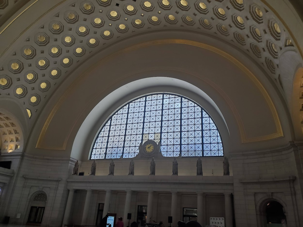
WEEKEND PHOTO
UNION STATION, WASHINGTON, DC
ANDY SPARBERG, GLORIA HERMAN AND NINA LUBLIN GOT IT RIGHT!
MONDAY PHOTO OF THE DAY
SEND RESPONSE TO:
ROOSEVELTISLANDHISTORY@GMAIL.COM

Text by Judith Berdy
Thanks to Bobbie Slonevsky for her dedication to Blackwell’s Almanac and the RIHS
Thanks to Deborah Dorff for maintaining our website
Edited by Melanie Colter and Deborah Dorff
All image are copyrighted (c) Roosevelt Island Historical Society unless otherwise indicated
ACKNOWLEDGEMENTS
UNTAPPED NEW YORK
THIS PUBLICATION FUNDED BY DISCRETIONARY FUNDS FROM CITY COUNCIL MEMBER JULIE MENIN & ROOSEVELT ISLAND OPERATING CORPORATION PUBLIC PURPOSE FUNDS.


Copyright © 2022 Roosevelt Island Historical Society, All rights reserved.Our mailing address is:
rooseveltislandhistory@gmail.com
Leave a comment