
AUGSUT 4TH, 2020 THOMSON AVENUE LONG ISLAND CITY


TUESDAY, AUGUST 4th, 2020
The
121st Edition
From Our Archives
THOMSON AVENUE
SKILLMAN AVENUE
AND
INDUSTRIAL NEIGHBORHOODS
OF
LONG ISLAND CITY

Above and Below
The Sunshine Biscuit Company
Now La Guardia Community College
Thomson Avenue

Following Thomson Avenue Through
LIC Long Island City
Mitch Waxman
Newtown Penticle
A dizzying display of industrial and architectural might, on display above, distracts the eye from the subject of this post. Empire State, Chrysler, the entire shield wall of Manhattan – even the sapphire spire which distinguishes modern Long Island City – are all screaming for attention. At the sapphire tower’s base is a white building, a former printing plant and later an Eagle Electric factory, which has long been converted over to luxury condominiums and is known as the Arris Lofts.
At the bottom of the shot is Skillman Avenue, and the tracks of the Sunnyside Yard An enormous concrete and steel bridge, 500 feet long and 100 feet wide, it is hidden in plain sight.
That’s the Thomson Avenue Viaduct. From 1877′s “Long Island and where to go!!: Long Island City is the concentrating point upon the East river, of all the main avenues of travel from the back districts of Long Island to the city of New York. The great arteries of travel leading from New York are Thomson avenue, macadamized, 100 feet wide, leading directly to Newtown, Jamaica and the middle and southern roads on Long Island, and Jackson Avenue, also 100 feet wide, and leading directly to Flushing, Whitestone and the northerly roads. Long Island City is also the concentrating point upon the East river, of the railway system of Long Island.
The railways, upon reaching the city, pass under the main avenues of travel and traffic, and not upon or across their surface. To begin with, lets start with the end.
Thomson Avenue disappears into the modern street grid when it is rudely interrupted by and becomes Queens Boulevard. This is the actual slam bang intersection where the “automobile city” of the 20th century meets the “locomotive city” of the 19th, at the intersection where Thomson avenue meets Queens Boulevard and Van Dam Street.
The “Great Machine” slithers past Thomson, and hurtles eastward along the more modern thoroughfare.
(From Wikipedia: “Queens Boulevard was built in the early 20th century to connect the new Queensboro Bridge to central Queens, thereby offering an easy outlet from Manhattan. It was created by linking and expanding already-existing streets, such as Thomson Avenue and Hoffman Boulevard, stubs of which still exist.”)
Thomson adjoins Jackson Avenue on the northern side of its run, where their junction forms the so called “Court Square,” where the 1990 vintage Citigroup structure might be noticed. There used to be a hospital where the colossus now stands. Overwhelming and out of character with its surroundings, it is the tallest structure on Long Island, and the 56th highest building in New York City – if you’re impressed by that sort of thing.
Across the street is why they call it Court Square, and a historic building discussed in this Brownstoner Queens post is found.
Moving in an easterly direction from Court Square, Thomson finds another connection to the automobile city, as one of the off ramps for the upper level of the Blackwell’s Island… Queensboro… Ed Koch… Bridge empties out here, allowing tens of thousands of vehicles to vomit onto Thomson’s parabola every day.
The rapid progress being made in the grading of Sunnyside yard in Long Island City, the future great terminal of the Pennsylvania Railroad system in New York, and the rapid construction of the eight massive viaducts to provide for the highway and railroad crossings, insure the completion of that section of the great undertaking early next fall. The most massive of the overhead highway crossings is the Thomson Ave. steel viaduct, 100 feet in width and 500 feet in length, passing over the network of tracks of the Long Island and Pennsylvania Railroads at a height of 30 feet.
The Queensboro Bridge extension viaduct, crossing diagonally to the street system of Long Island City, but at right angles to the railroad, is 80 feet in width, and has massive steel girders. The Thomson Ave. crossing, which will be completed next month, and the bridge extension will provide for the traffic over the main arteries of travel, extending through the borough from north to south.
On the side streets which dead end off of Jackson Avenue, like Dutch Kills or Queens or Purves Streets, one can gain an appreciation for the altitude of this Thomson Avenue Viaduct. These roadway artifacts used to proceed through what is now the rail yard, and the historical record is full of lawsuits brought by LIC residents against the Pennsylvania Rail Road or Long Island Railroad companies for damages based on the grade situation or for “dead ending” their street. These lawsuits detail and define the complicated questions of who owns what around and above the yards. Then – however – as now, you can’t fight City Hall if it wants to do something in your neighborhood.
The Sunnyside Yard tends to insulate Long Island City from the rest of western Queens, forcing its residents and businesses to pass through narrow or crowded choke points when leaving or entering the locale. The landward vehicular passages along the East River are defined by Queensboro and the Midtown Tunnel, while the southern ridge (Skillman Avenue) that overlooks the yard leads to residential Sunnyside. The Yard complex allows locomotive access to the both the East River tunnels and to the New York Connecting Railroad, which links Long Island rail to the rest of the continent via the Hell Gate Bridge. Sunnyside Yard continues all the way to Woodside, and sits on an astounding 8,500 foot plot which consumes 192 acres and offers an unbelievable 25.7 miles of track. The viaducts which cross the yards — Hunters Point Avenue, Thomson Avenue, Queens Boulevard are all orientated in a mostly easterly direction, while the 35th Street or Honeywell Bridge, and the 39th Street or Harold Avenue Bridge at Steinway Street offer rare and spread out pinch-points of north south egress across the facility.
The businesses which set up shop around Sunnyside Yard in the early 20th century didn’t much care about auto traffic, they were part of the locomotive city and were here for the rail connections. From 1913′s “Greater New York: bulletin of the Merchants’ Association of New York, Volume 2,” courtesy Google Books: “After luncheon, which was held in the cosy quarters of the Queens Chamber of Commerce on the Bridge Plaza, Long Island City, the party were taken on an automobile drive of about fifty miles, covering the principal points of Industrial interest in Queens. The first stop was made on Diagonal Street which crosses the Long Island Railroad yards. From this point it is possible to see all the features of the industrial development in that part of Queens, especially the development of the Degnon Terminal Company and the new factory of the Loose-Wiles Biscuit Company”.
‘The party then proceeded along Thompson Avenue to Newtown Creek, passing some of the largest factories in Queens, and also the most important industries in New York City, such as the Nichols Copper Company, the General Chemical Company, the National Enameling and Stamping Company, the General Vehicle Company, which is just erecting a large new building, and the Brunswick-Balke-Collender Company. ‘
The naming of Thomson Avenue has always been a bit of a mystery for me. Skillman Avenue, for instance, was named for a farmer that supported the British during the American Revolution and whose lands were confiscated by the victorious rebels (much like DeLancey over in Manhattan). Apparently, there were one or two LIRR and or Pennsylvania RR executives named Thompson – certain older documents refer to this road as “Thompson Avenue” but this is a common typographic error which favors the more widespread surname. There was a Thomson that was an important member of the Queens Chamber of Commerce and LIC community during the 1920′s – but the street dates back to the beginnings of Long Island City and must be named for someone from earlier times.
Newtown Creek Alliance Historian Mitch Waxman lives in Astoria and blogs at Newtown Pentacle.

THOMSON AVENUE MAP


THOMSON AVENUE LEADING TO
THE VIADUCT TO THE RIGHT AS
YOU EXIT QUEENSBORO BRIDGE

CHICLETS FACTORY
THE GUM AND SUGAR CAME DIRECTLY INTO THE BUILDING BY RAILROAD.

Now the home of the NYC
Department of Design and Construction

DO YOU REMEMBER THE CHICLETS FACTORY?

SKILLMAN AVENUE MAP

ADVERTISED AS OPPOSITE 42 STREET, MANHATTAN

MANY OF THESE AREAS ARE DISAPPEARING AND BEING DEVELOPED


Neptune Meter Works Building was occupied by the company until the 1950’s. It was recently the famous 5 POINTZ Building, famed for its graffiti, now demolished.
TUESDAY PHOTO OF THE DAY
SEND OUR SUBMISSION TO ROOSEVELTISLANDHISTORY@GMAIL.COM
WIN A KIOSK TRINKET

MONDAY PHOTO OF THE DAY
SUBWAY PLATFORM WITH PERPETUAL LEAK
SEND E-MAIL COMPLAINT TO: TEAM9@NYCT.COM
NINA LUBLIN, JAY JACOBSON, JOAN BROOKS AND ALEXIS VILLFANE ARE THE WINNERS.

A NEW FEATURE
FROM OUR KIOSK
GREAT STUFF FOR ALL OCCASIONS
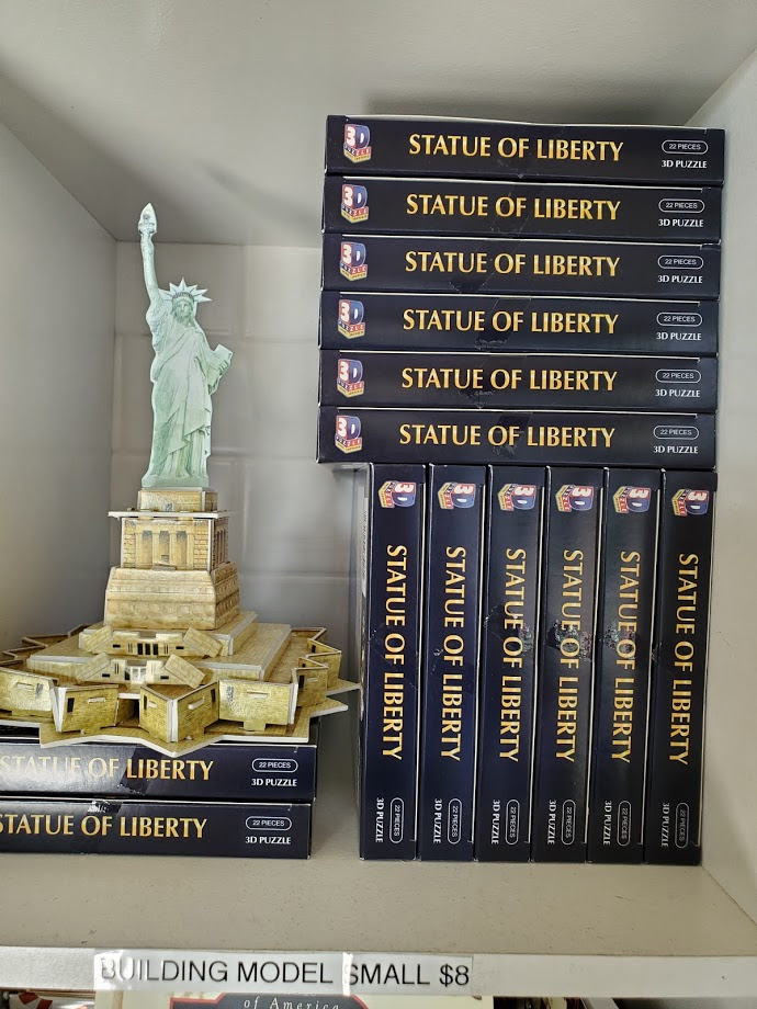
STATUE OF LIBERTY MINI MODEL $10-
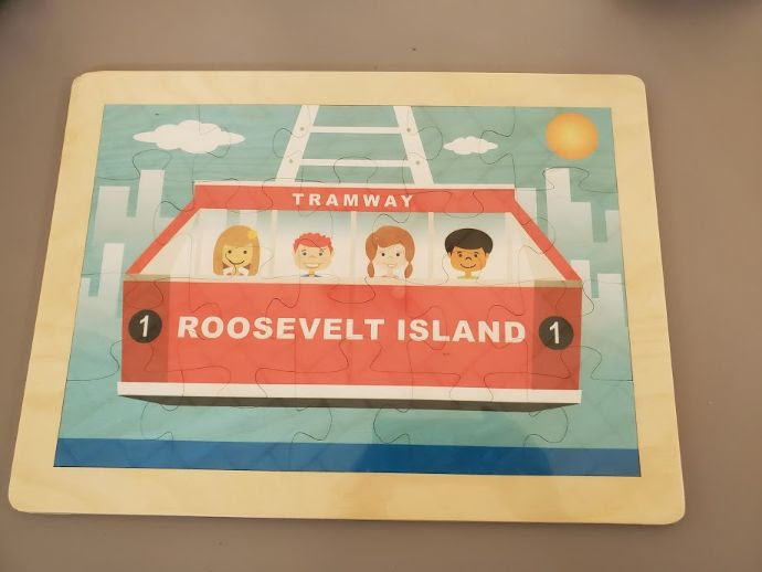
TRAM PUZZLE (WOOD) $25-
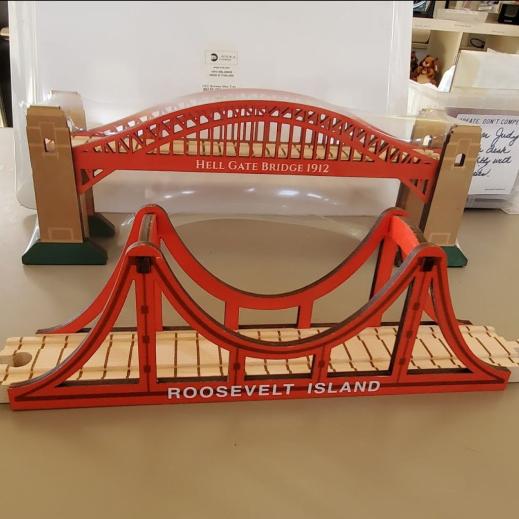
HELLGATE BRIDGE $40-
ROOSEVELT ISLAND BRIDGE $28-
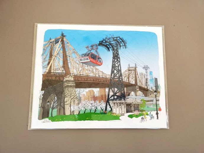
RON CRAWFORD ART PRINT $35-
KIOSK IS OPEN WEEKENDS 12 NOON TO 5 P.M.
ONLINE ORDERS BY CHARGE CARD AT ROOSEVELTISLANDHISTORY@GMAIL.COM
GREAT NEW ARTPIECE AT CORNELL TECH

THE TATA INNOVATION CENTER HAS A WONDERFUL GRAPHIC ARTPIECE ON THE FRONT WINDOWS. ENJOY ROBIN KANG’S “MOTHERHOOD MEDITATION.”


EDITORIAL
Looking east out of my window, one does not imagine that the land beyond is where so much of American industry was born. Many were family businesses that developed into large corporation and companies we all recognize now. It might have been chic and glamorous with landscaped parks and facilities. They had no computers, consultants and tech geniuses to work, just hard labor and ingenuity.
Judith Berdy
Text by Judith Berdy
Thanks to Bobbie Slonevsky for her dedication to Blackwell’s Almanac and the RIHS
Thanks to Deborah Dorff for maintaining our website
Edited by Melanie Colter and Deborah Dorff
THANKS TO MITCH WAXMAN WHO CONTRIBUTED
SO MUCH TO THIS POST.
CHECK OUT THE NEWTOWN PENTICLE FOR THE LATEST EDITION.
All image are copyrighted (c)
Roosevelt Island Historical Society
unless otherwise indicated
FUNDING PROVIDED BY ROOSEVELT ISLAND OPERATING CORPORATION PUBLIC PURPOSE GRANTS
CITY COUNCIL REPRESENTATIVE BEN KALLOS DISCRETIONARY FUNDING THRU DYCD


Copyright © 2020 Roosevelt Island Historical Society, All rights reserved.Our mailing address is:
rooseveltislandhistory@gmail.com
Leave a comment