
Friday, January 26, 2024 – TIME TO IDENTIFY THE BUILDINGS ON 1936 MAP


FROM THE ARCHIVES
FRIDAY, JANUARY 26, 2024
WHAT IS ON THE MAP?
ISSUE# 1171
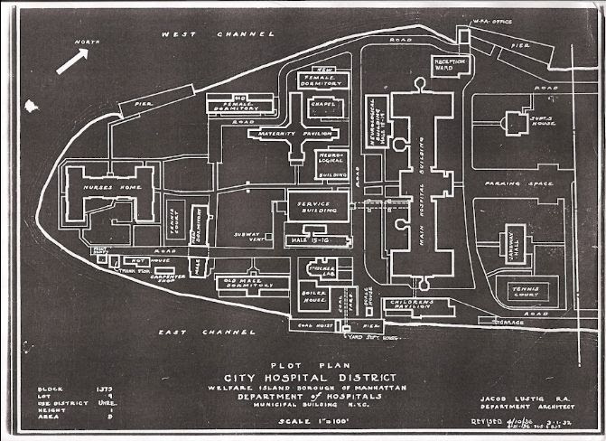
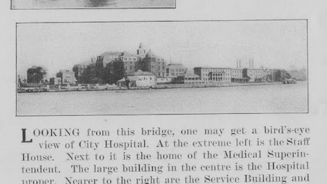
We posted the image below of a 1930’s map of the south end of the island
a few days ago.
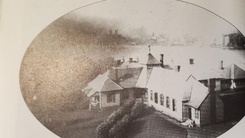
Here are images of the structures on the map. This is the area of the island that is in the current Southpoint Park. You can see that the island ends
at the Smallpox Hospital. All land south of that point is landfill.
Judith Berdy
Smallpox Hospital, converted to New York Training School for Nurses
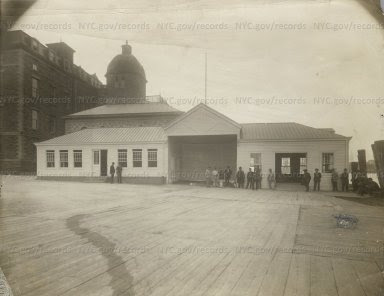
City Hospital: Large one-story extension to Reception Pavilion. Wood pier.
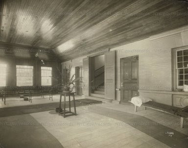
City Hospital: Patients’ Waiting Room in Reception Pavilion.
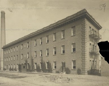
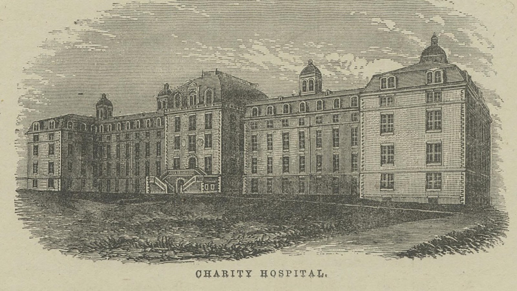
City Hospital District: Long 3-story brick building; male dormitory.
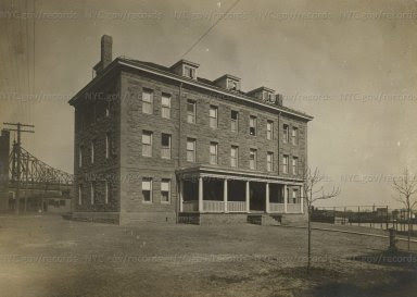
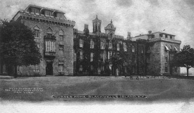
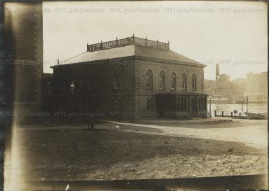
Three-story stone building with porch in City Hospital area.
Maternity Pavillion
Building with columns
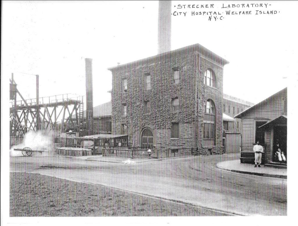
Strecker Laboratory
City Hospital closed in 1955
CREDITS
THE ROOSEVELT ISLAND HISTORICAL SOCIETY
THE MUNICIPAL ARCHIVES OF THE CITY OF NEW YORK
MAYA LEVANON-PHOTOS TIK TOK & INSTAGRAM
All image are copyrighted (c) Roosevelt Island Historical Society unless otherwise indicated
www.tiktok.com/@rooseveltislandhsociety
Instagram roosevelt_island_history
THIS PUBLICATION FUNDED BY DISCRETIONARY FUNDS FROM CITY COUNCIL MEMBER JULIE MENIN & ROOSEVELT ISLAND OPERATING CORPORATION PUBLIC PURPOSE FUNDS.

Copyright © 2024 Roosevelt Island Historical Society, All rights reserved.Our mailing address is:
rooseveltislandhistory@gmail.com
Leave a comment